Brief Location Update
(Susan)
Still in Eureka. A miserable forecast for today and me not feeling well this morning–I think I’m fighting off that cold that Brice caught in North Dakota–led us to declare today a rest day this morning. Tomorrow we’re continuing on with our original plan, towards Libby. Tomorrow should still be rainy, though less so, and less windy as well.
In other news, we’ve broken the stems off a couple otherwise perfectly good tubes the last couple days while pumping them up. Got to get a couple more the next town we hit with a bike shop, because the only spare one left is one that’s already patched.
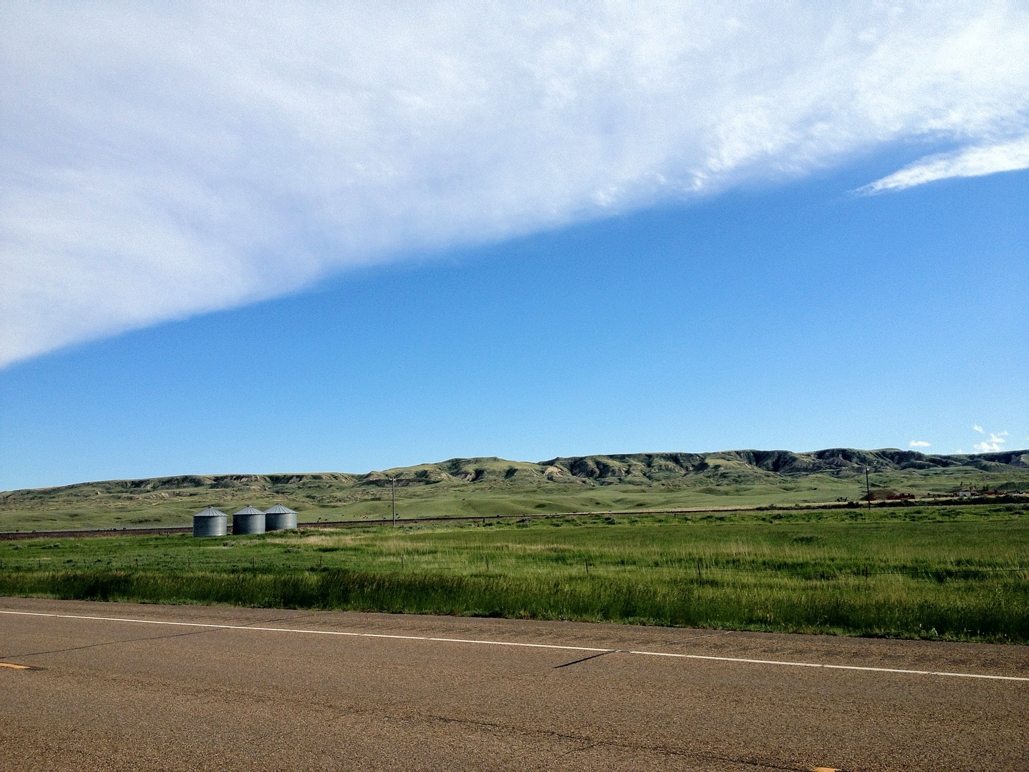
Eureka!
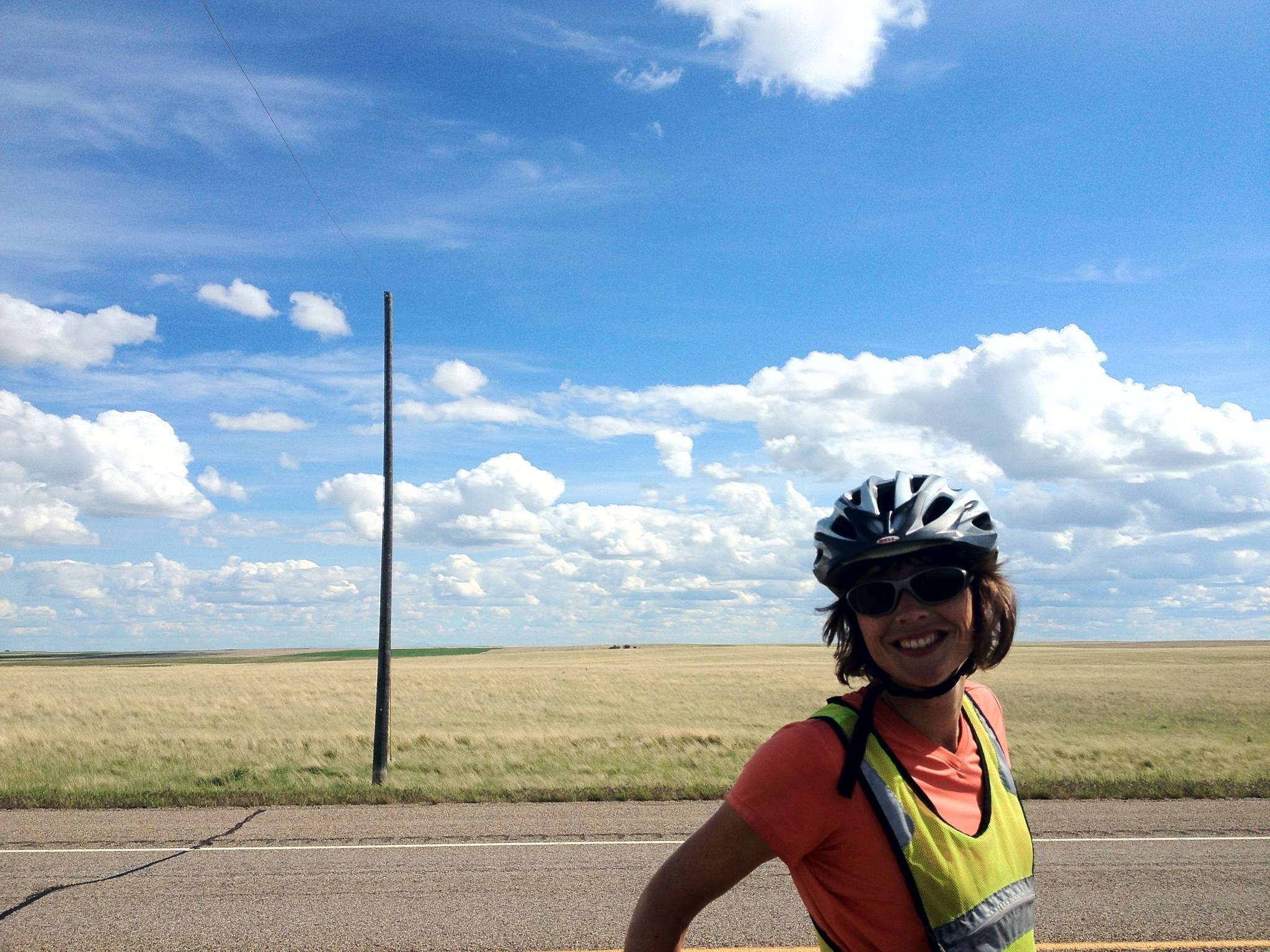
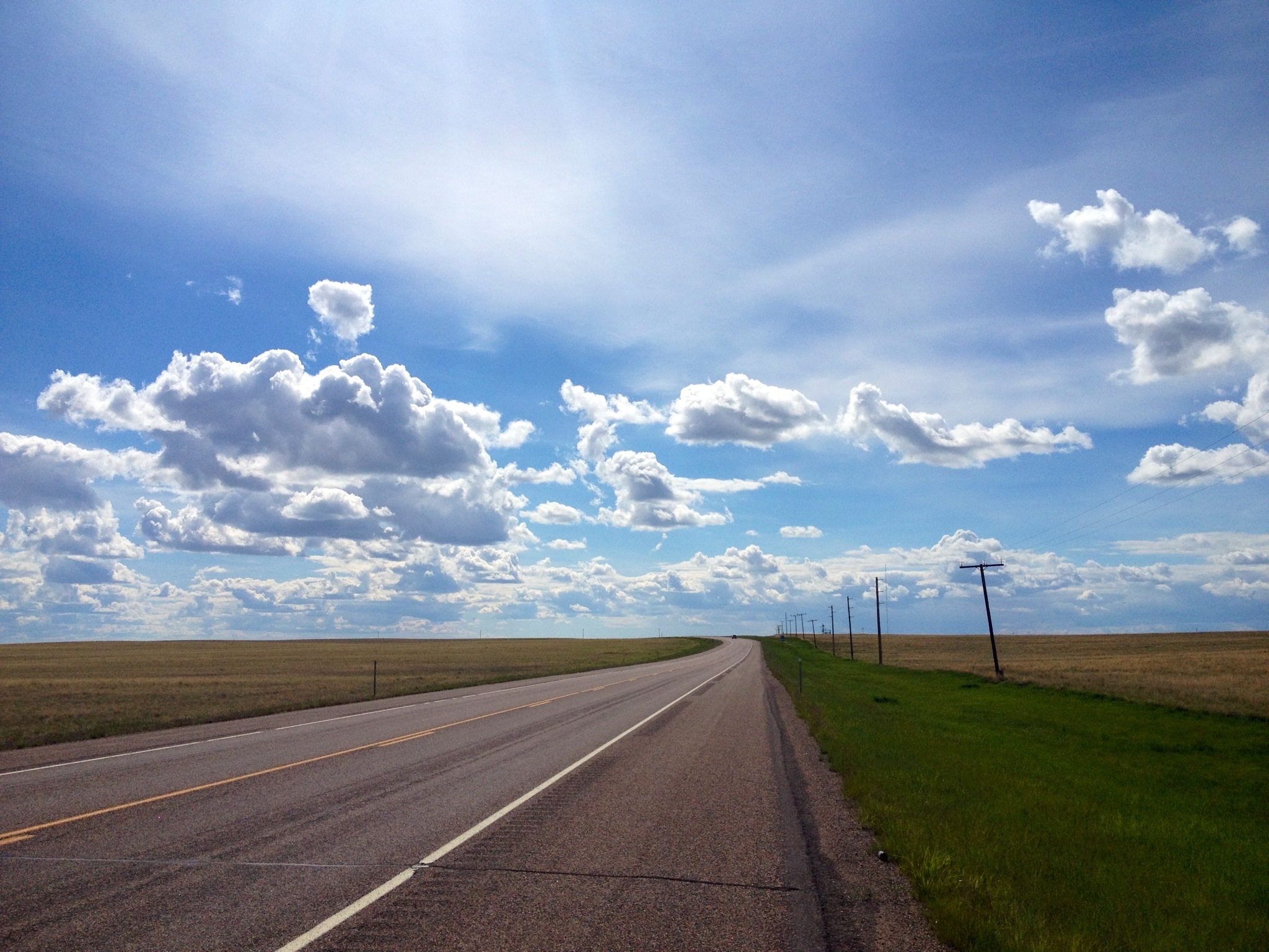
We made it to Eureka after grinding through torrential rain for the last 14 miles – we still can’t complain after hearing from the bikers who’ve faced much worse weather. It was a nice ride otherwise, we saw many deer bounding away into the forests. Tomorrow we’re aiming for Libby, MT and we hope to be in Clark Fork, ID the day after.
Photos!!
Here’s a bunch of them in chronological order; the previous post has some narrative:

Over the Rockies
(brice)
For the second consecutive night we’re without internet at our campsite (this isn’t a complaint; I wasn’t expecting to get any Gs at all through ND and MT, much less 3 of them, somehow, away from any interstate and in a town of 87 people, all the way until last night). So while there are a million awesome pictures to post, they’ll all have to wait until we have a reliable connection and some free time. I figured in the meantime it’d be good to write down what we’ve been up to before we forget.
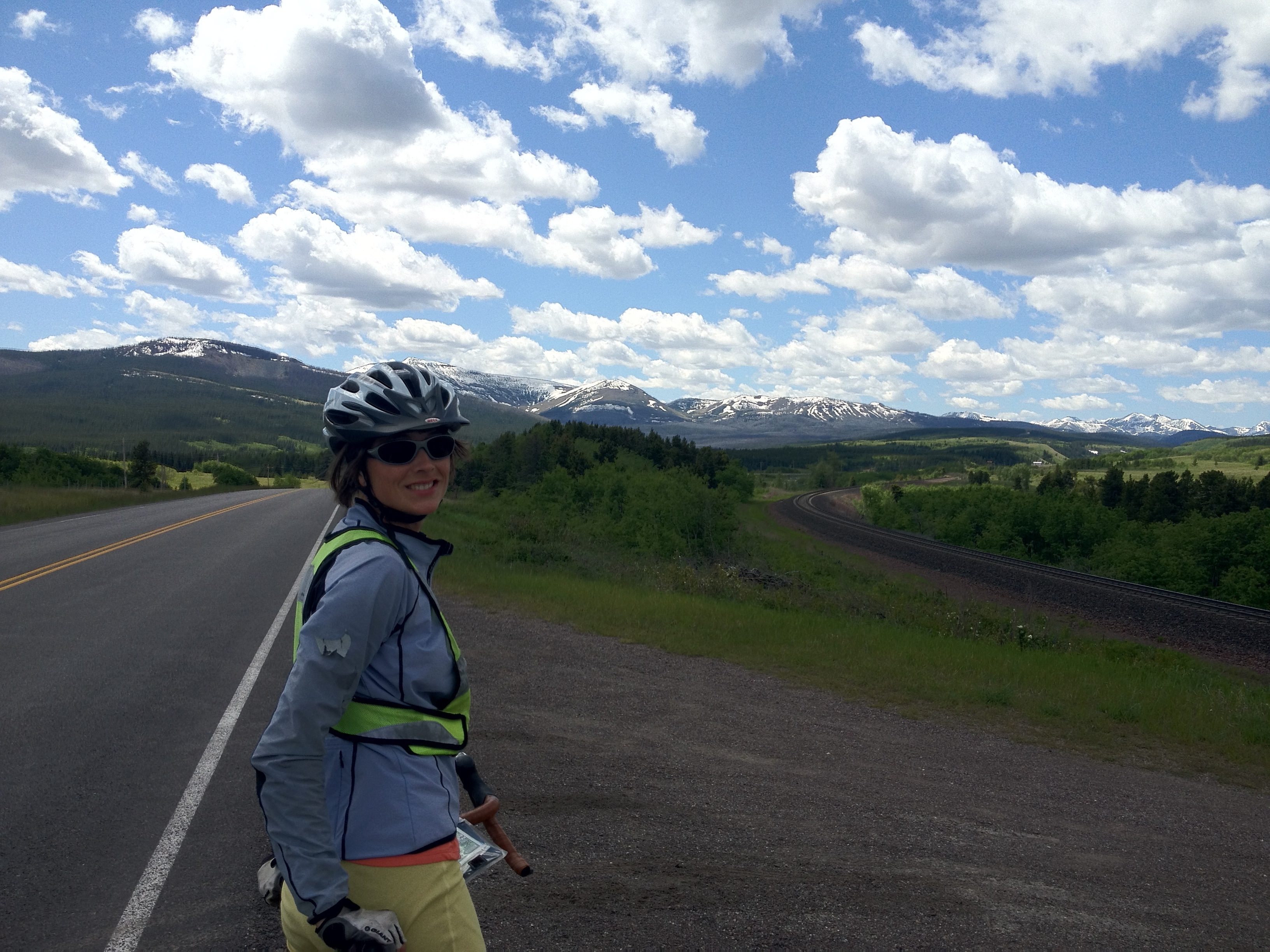
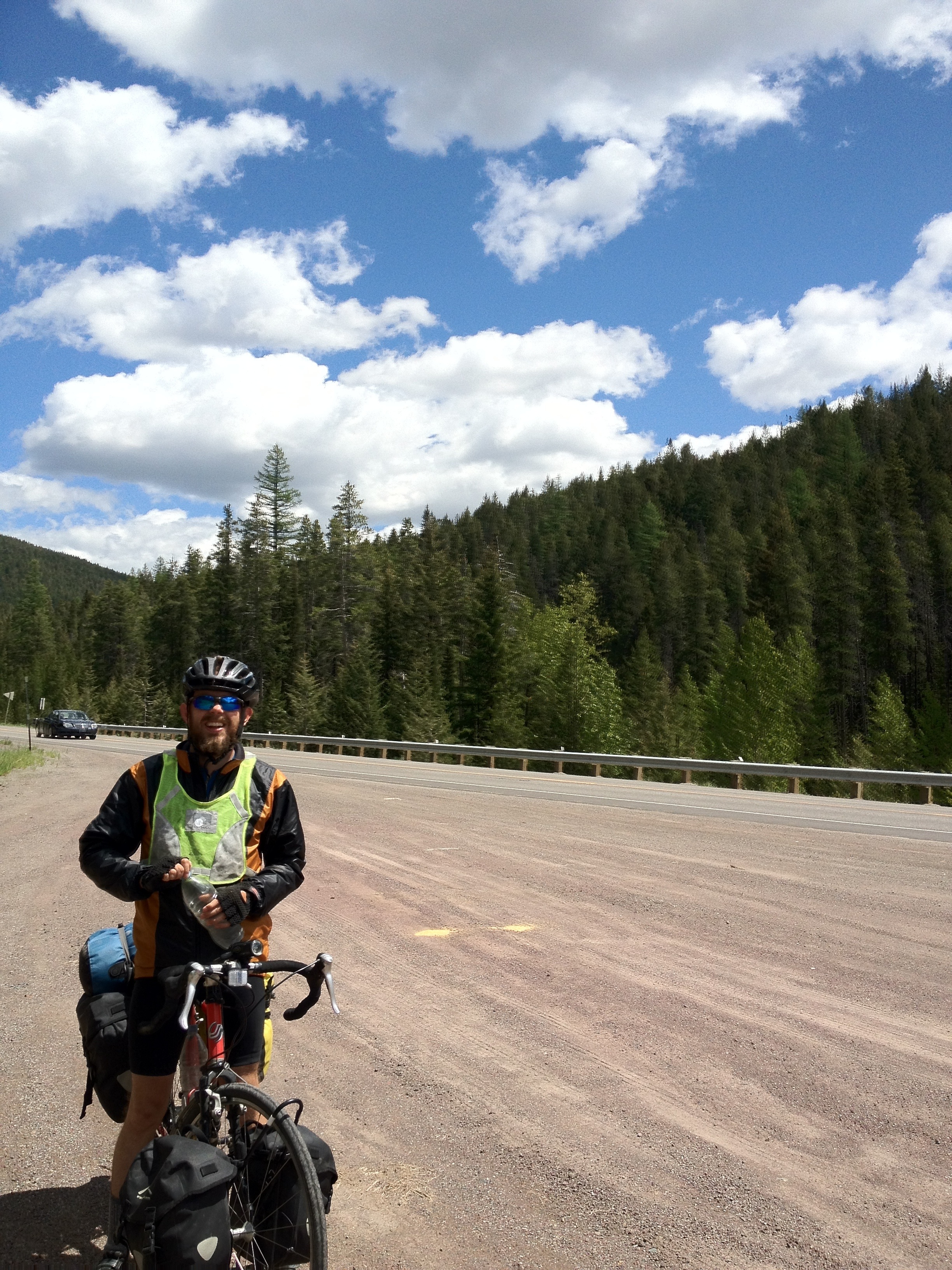
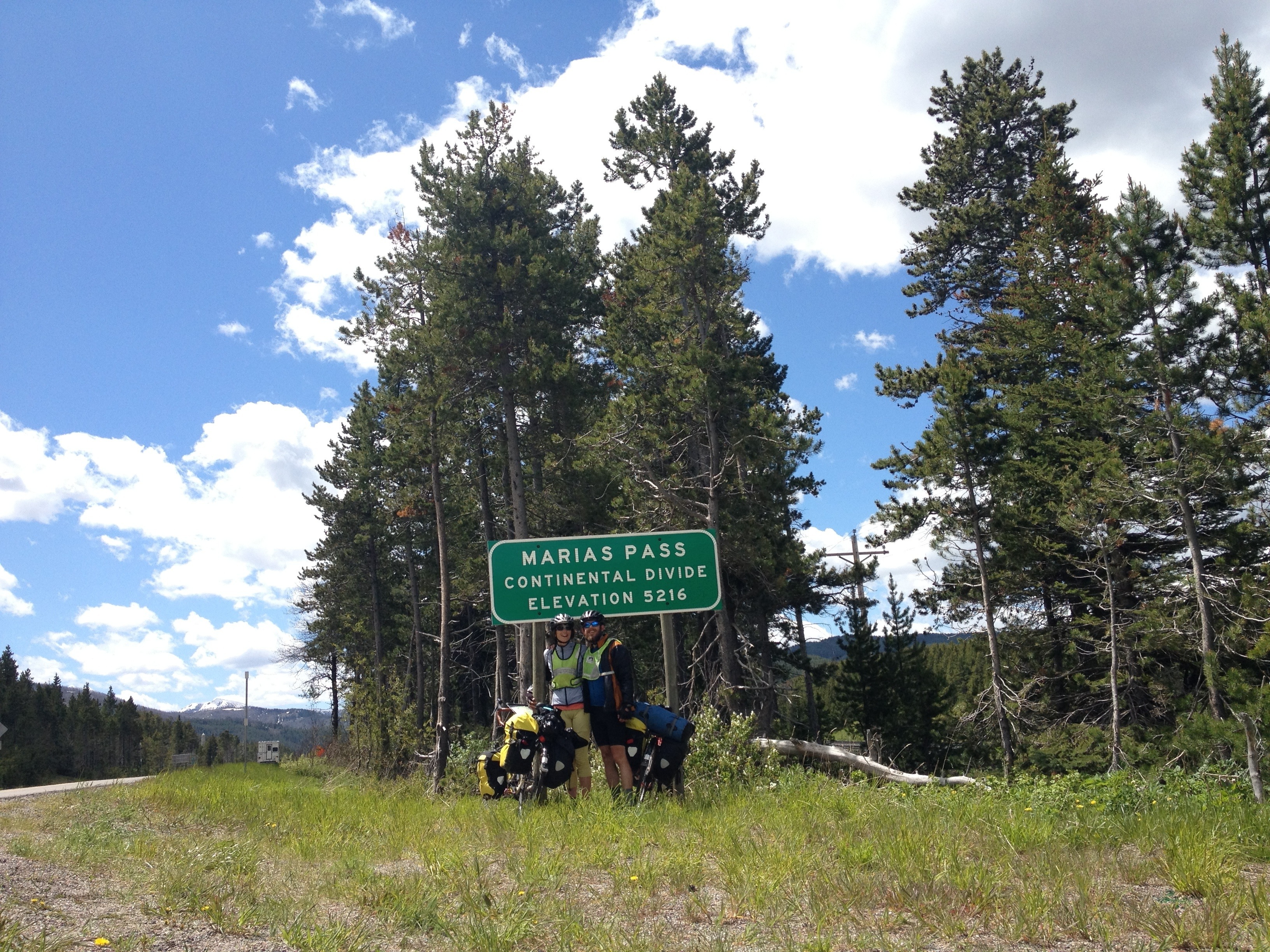
Yesterday we climbed for about 20 miles out of 24 miles out of Browning to Marias Pass, at just under a mile elevation. It was steep, particularly the first section, but not absurdly so and the views as we rode into the range were worth it. We did get to skip at least a few feet due to a construction zone that had been deemed unpassable by bicycle for liability reasons. Instead, the nice construction workers had us pile our bikes and gear into the bed of the follow-me truck that was leading cars through a section of treacherous, narrow one way gravel. The truck only had one spare seat so I rode in the bed with the bikes; it’s unclear to me if the less than wholly legal seating arrangement is much of an improvement for them liability wise but we sure weren’t complaining. The ride was less than a mile so we’re claiming credit for the full ascent.
The downhill side of the pass is steep and long and we were glad we didn’t have to climb it (though certainly worse ascents are in our future). The headwinds continued, so we had to pedal most of the downhill out, stopping to admire a couple of distant mountain goats. We’d hoped to make West Glacier, but were feeling pretty wiped out so stopped at a little motel after 52 miles. Eastbound cyclists were camping there who’d had 6 straight days of nonstop rain at one point in Washington. We’ve only been truly soaked 3 times total in 9.5 weeks, but of course we still have WA to go.
This morning we got up and rode 15 miles to West Glacier, which was the first opportunity for breakfast. It’s a bit shocking to suddenly be in tourist country; it was the first cafe we’ve been in that didn’t have a table of 12 retired dudes sipping coffee; coffee suddenly costs $1.75 instead of a buck.
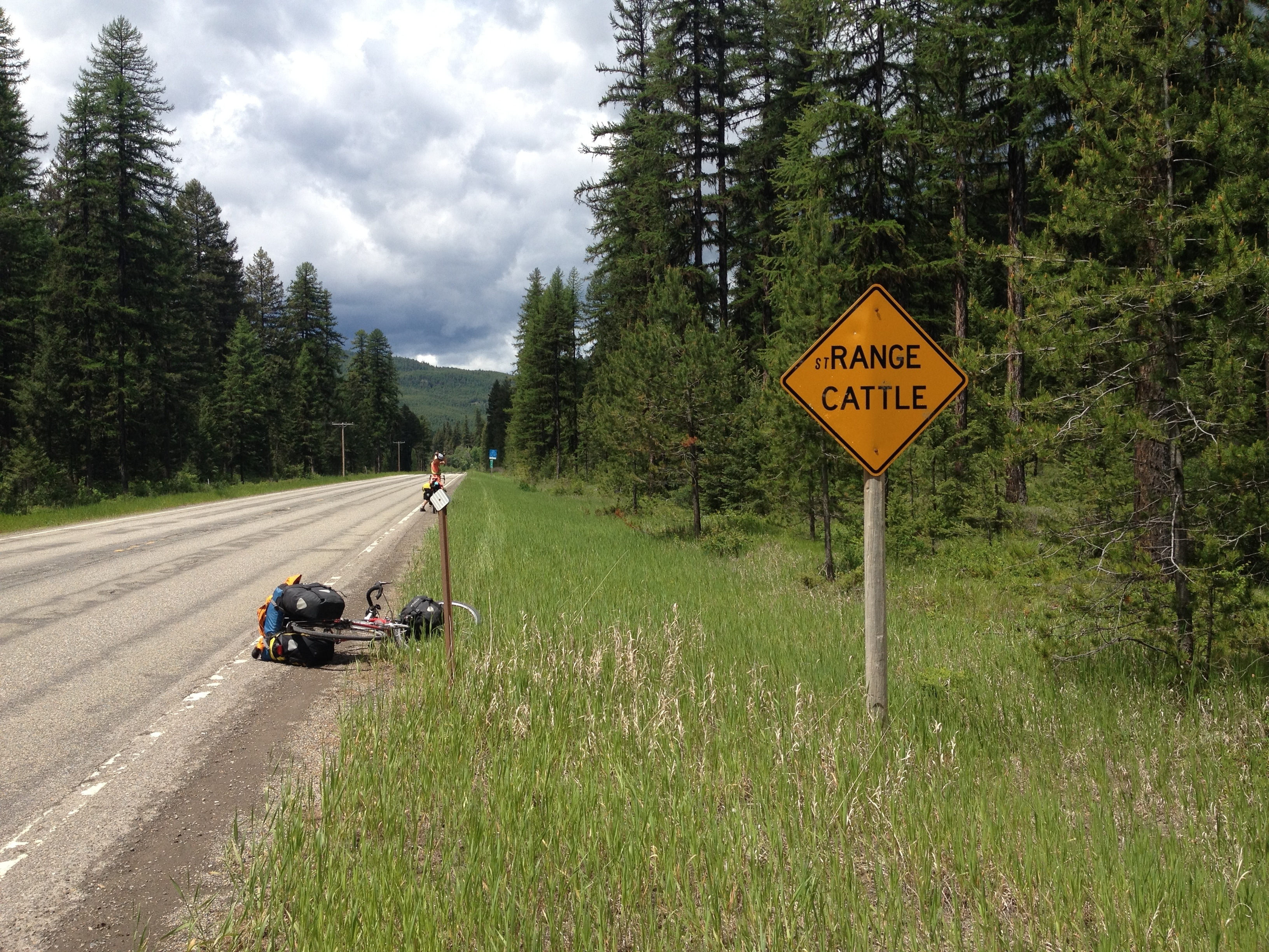
There finally were no significant winds, but we only went another 30 miles to Whitefish as it’s a long ways past whitefish to the next camping spot. There’s a nice cycle shop here so we were able to replace Susan’s rear wheel which was close to wearing through, and restock on chamoix butter. We’re in a nice state park just outside of town tonight, and tomorrow we’re off to Eureka, possibly in rain. With luck I’ll be able to post this in the morning and we’ll get pictures up before too long.
Browning part 1
Despite the forecast headwind, after a long tiring day we made it 60 miles to Browning MT, at the foot of the Rockies. As Greg LeMond said, “it never gets easier, you just go faster”. We saw 4 different solo cyclists headed eastbound; it seems like it’d be a long lonely trip. We tried to not hate them for having the wind at their backs too much.
Unfortunately the data connection is spotty at our campground tonight so there’s only one picture to show off our amazing location:
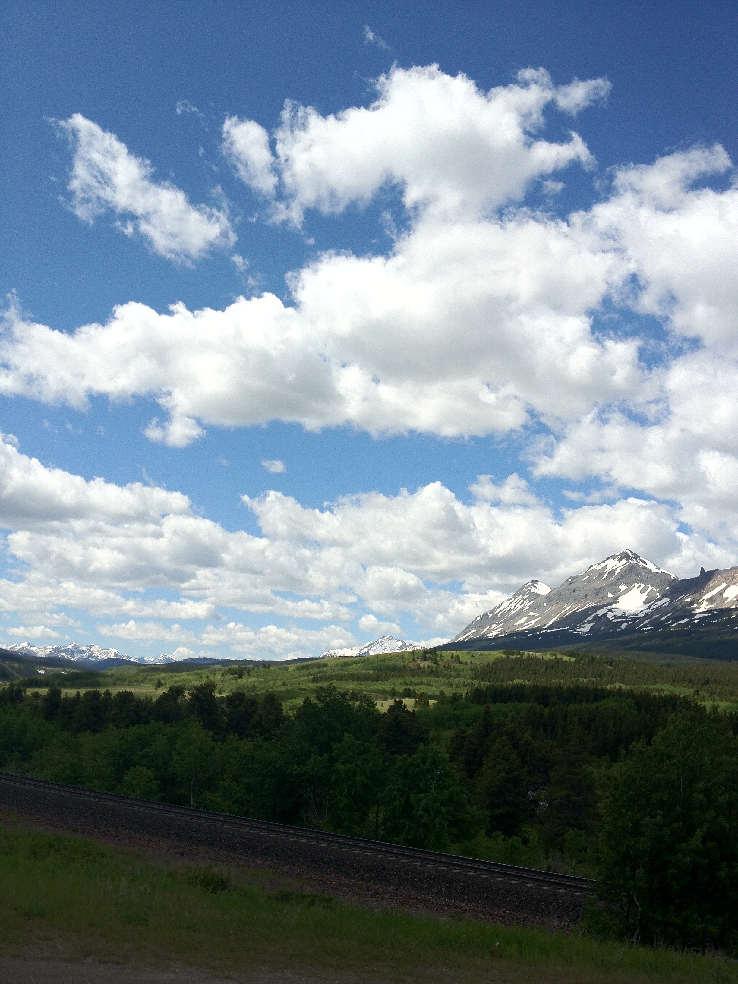
Tomorrow we’ll cross over the continental divide into the watershed I grew up in. Any sweat we drop will make its way down the Columbia past my parents house and out to the pacific. It feels like we’re close to done for the first time.
Rocky Mountains, ho!
(Susan here)
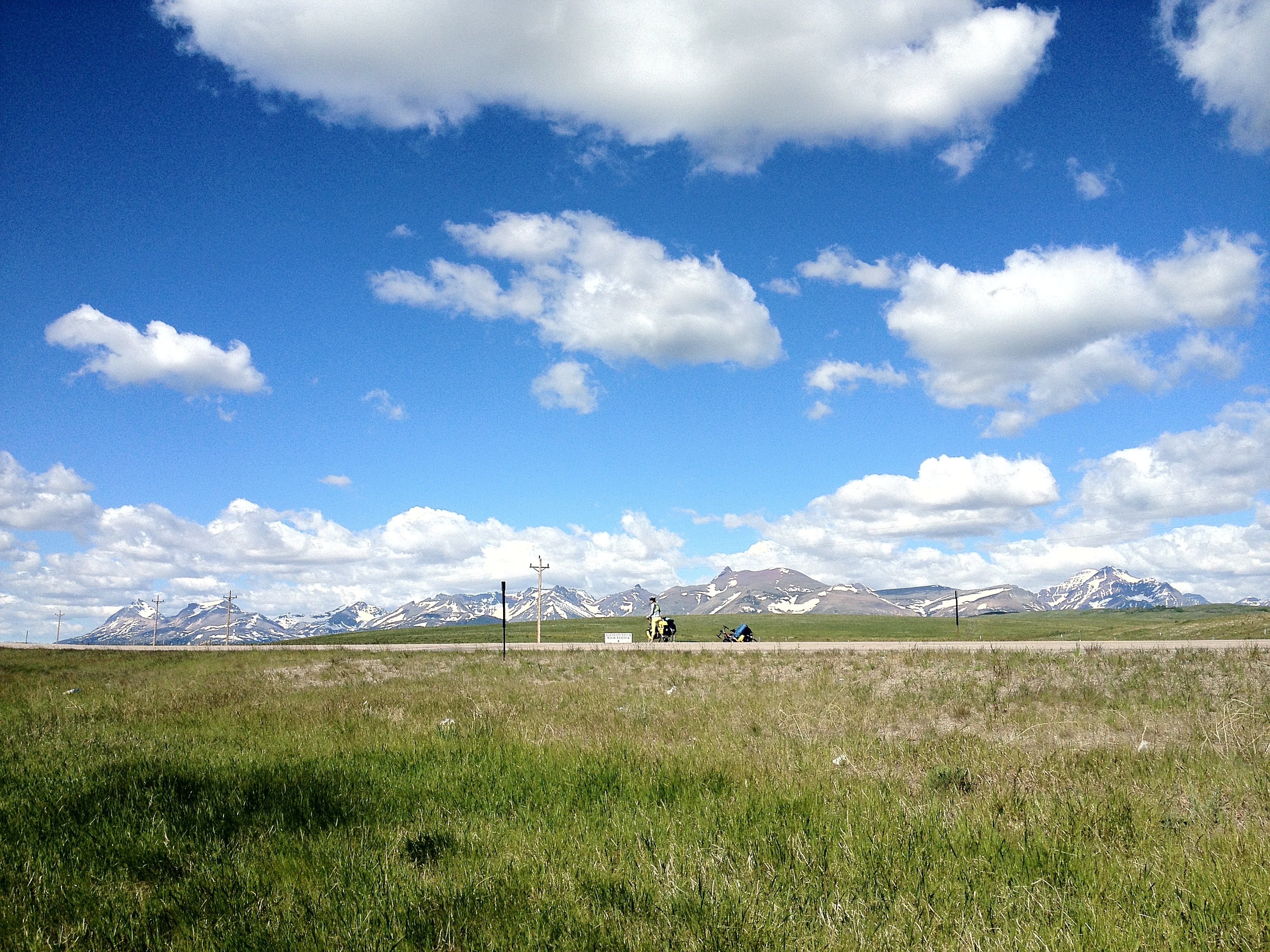
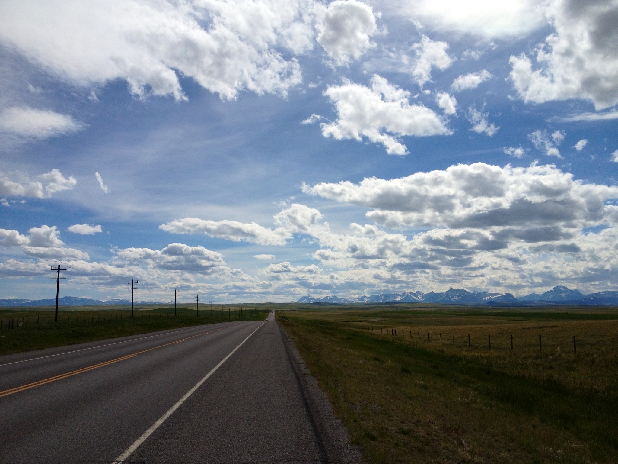
The mountains appeared to us when we got around Lothair, their snowy white tops visible against their vague, dark outline. We stopped and took a photo the moment we realized it; not sure if you can spot them, too:
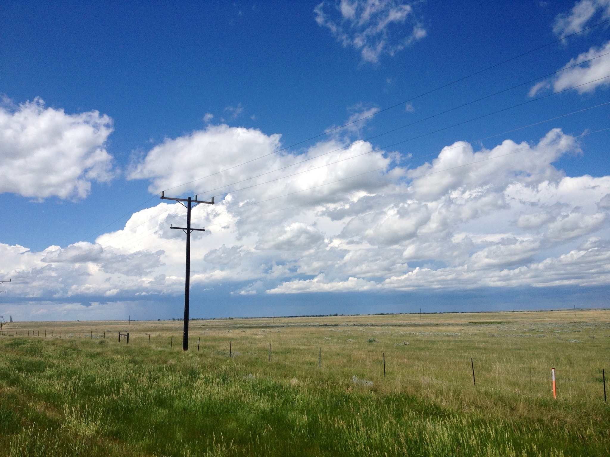
The pass is less than 100 miles away now, but the weather and the terrain are conspiring to make it a longer trip than it should be. We had planned on making it to Cut Bank today, but both of us felt strangely wiped out (the altitude?) and the winds had begun to pick up, so we’re in Shelby instead. Of note, Shelby has the first on-street bike lanes we’ve seen since Minneapolis, a surprising distinction for a town of 3,400. There’s also a huge wind farm on the edge of town, which is fitting. The headwinds are supposed to be around 30 mph tomorrow, which means we’re very gladly staying put, but then they are going to be nearly as bad for the next several days as we climb to full elevation. We may just have to take a series of 20-30 mile days just to get through it, going from here to Cut Bank, then to Blackfoot, then to East Glacier Park, and then up and over Marias Pass and out of the wind.
Just east of Shelby, looking north to the Sweetgrass Hills:
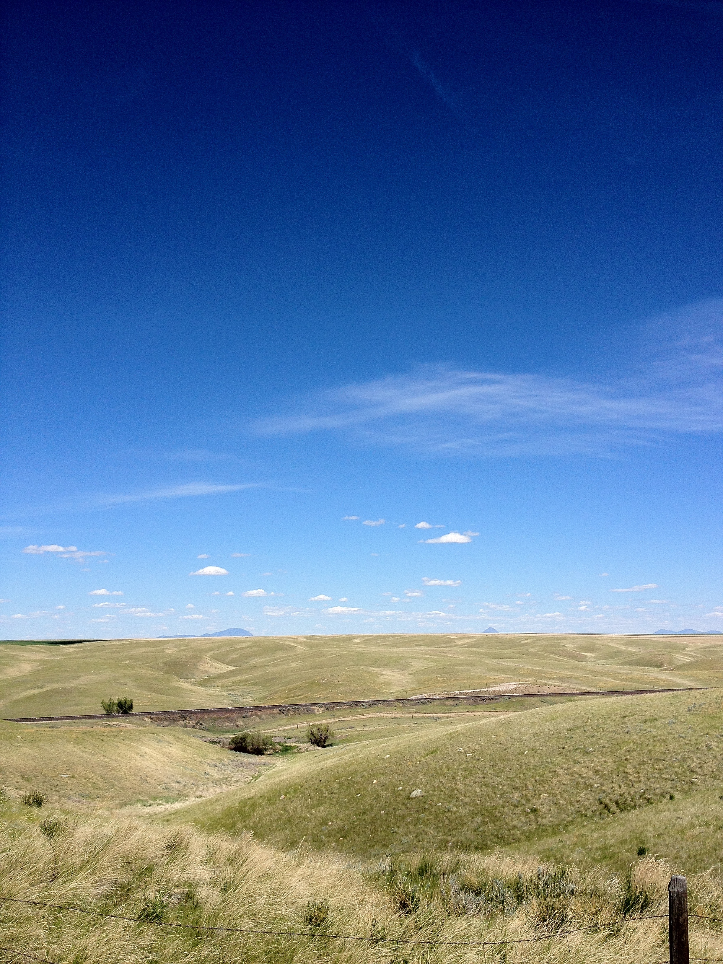
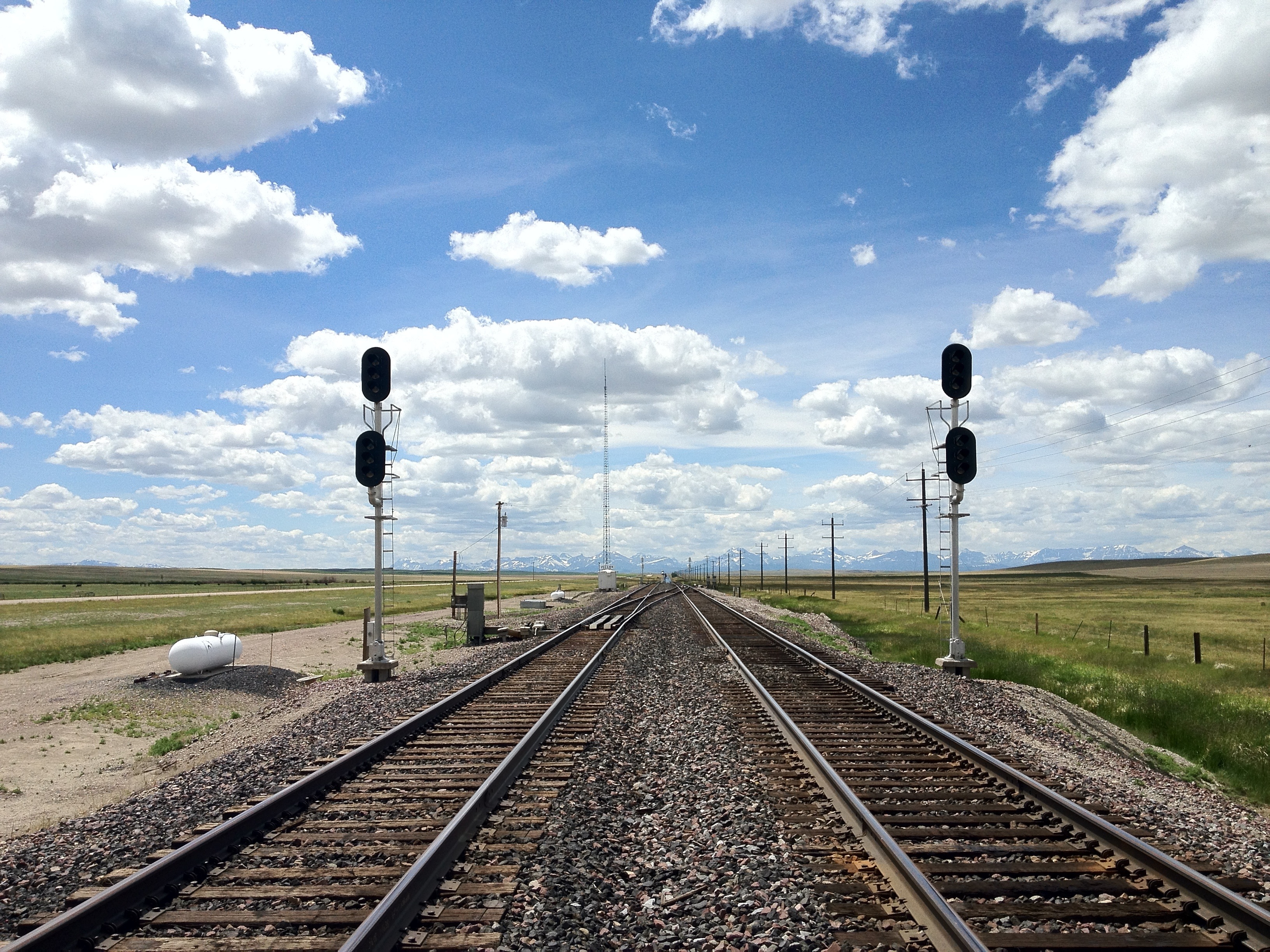
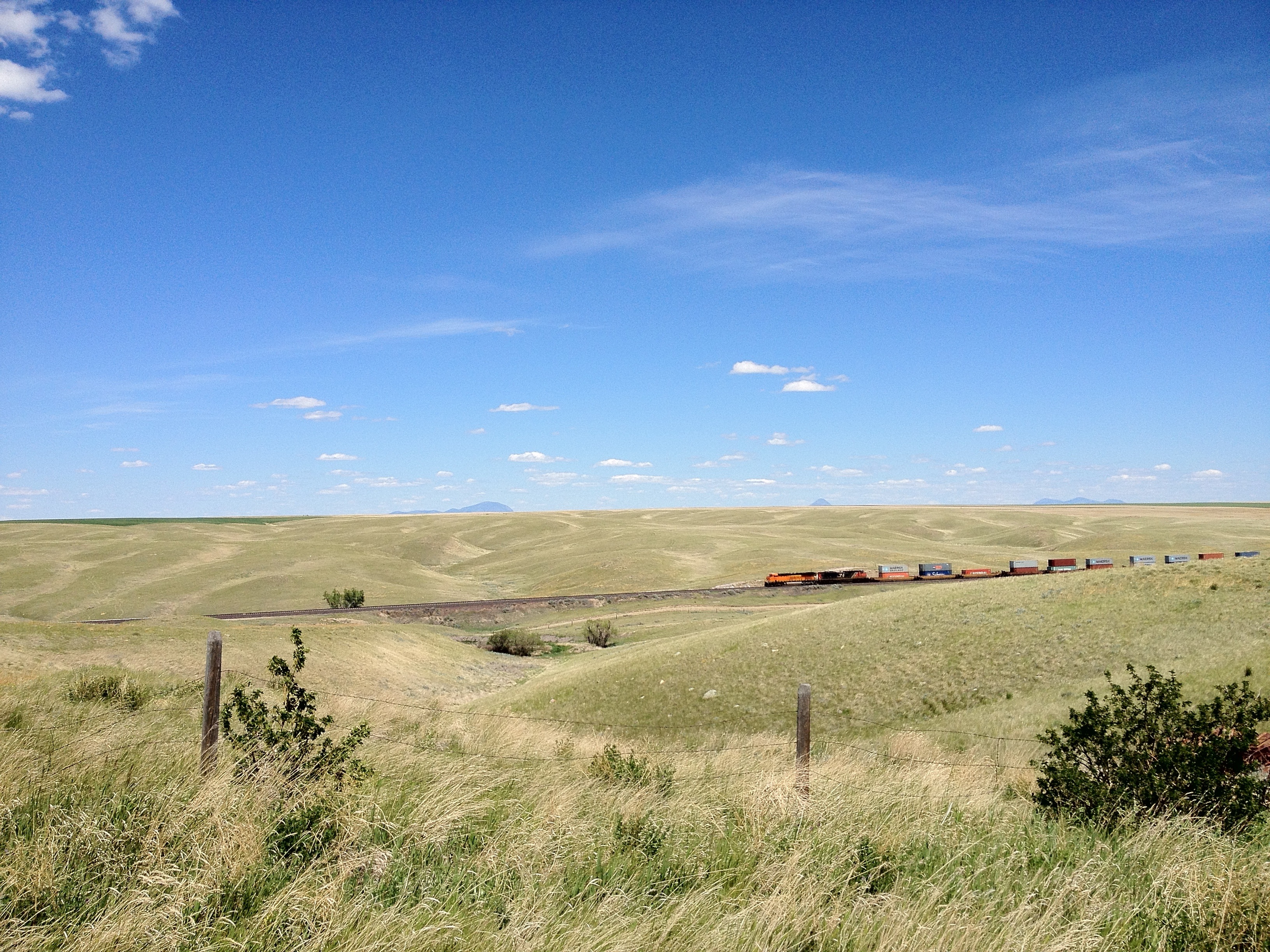
…and our ever-present companion, the BNSF freight train, makes its appearance down in the valley:
Today was the first day since Medora, ND that we did not see any east-bound cross-country cyclists, so that was kind of strange. But yesterday we saw two separate groups: one 60-something man with a gnarly mustache who hiked the AT last year but never really rode a bike before heading cross-country; and a half-dozen college-aged dudes riding supported who all cheered for us as they sailed past while we chugged into the wind: “You guys are champs! Keep it up!” [Yeah… yeah! We ARE champs, aren’t we?]
Chester MT
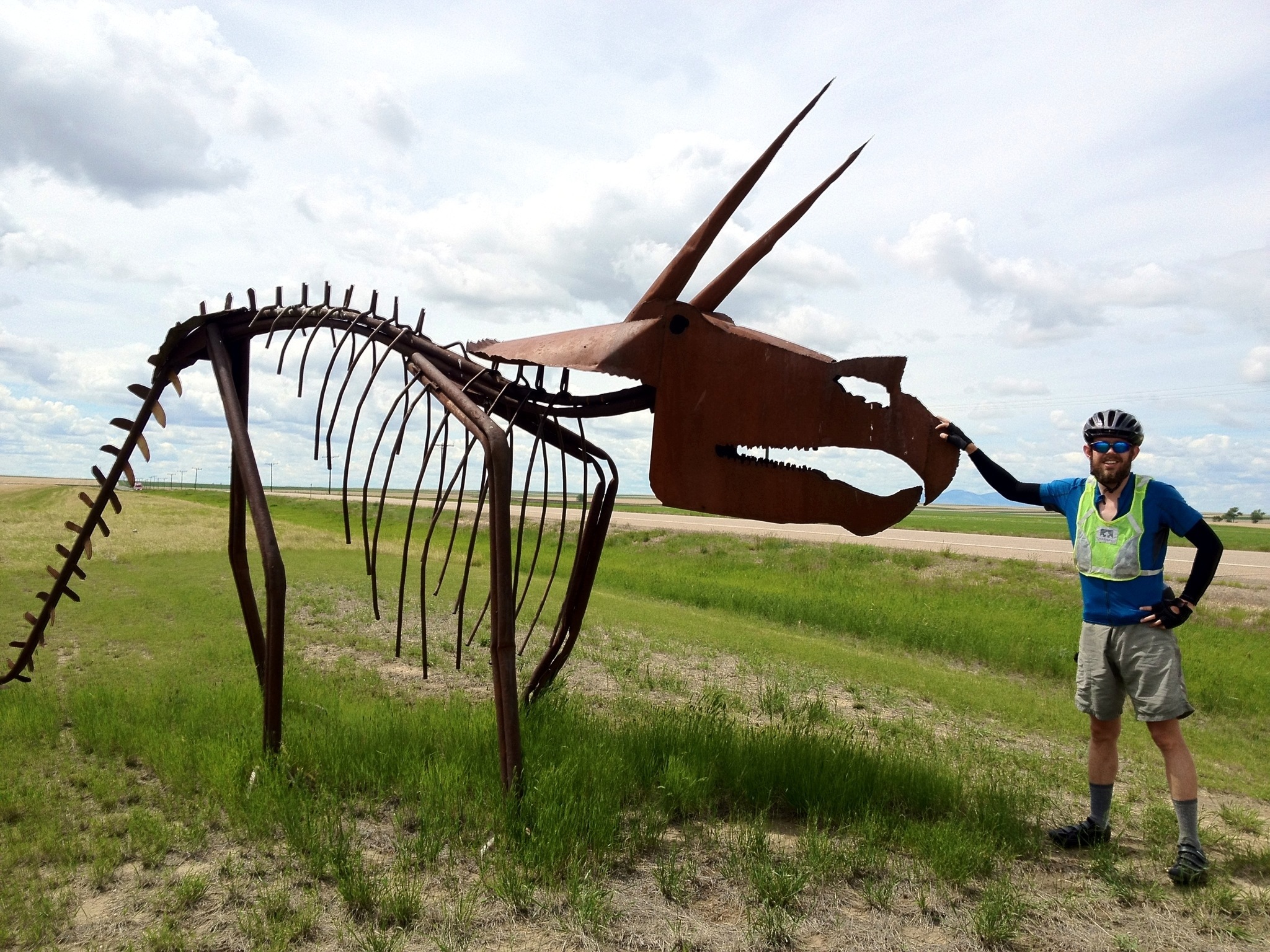
Today we rode a bit over 65 miles to Chester. The wind was a bit lighter than advertised so we’re tired but not exhausted. The dinosaurs continue:
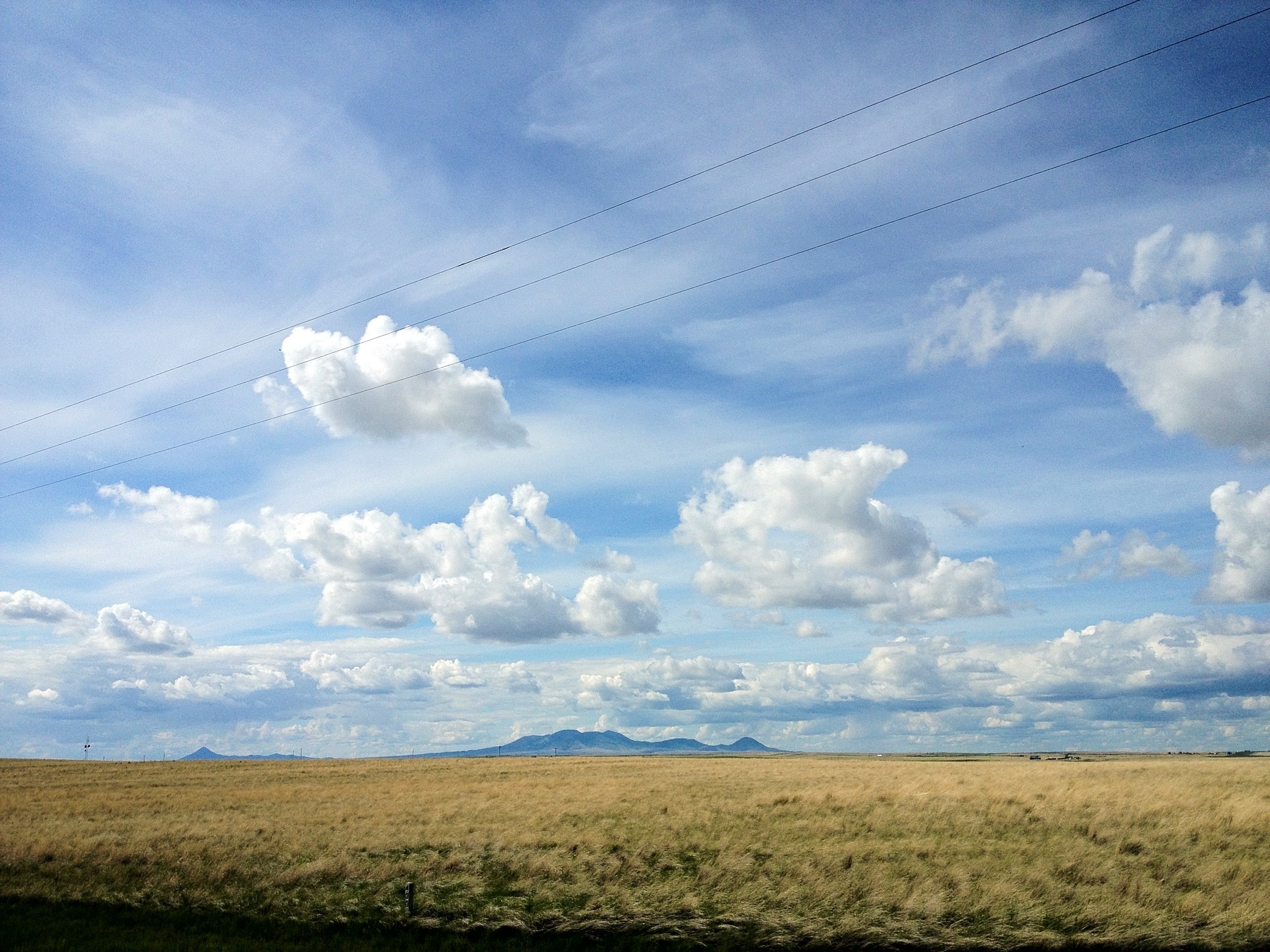
as do the early hints of the rockies, in this case the sweet grass hills:
Tomorrow we’ll try to make Cut Bank. Wednesday looks pretty miserable so we may take another rest day.
Halfway at Havre
(Susan here)
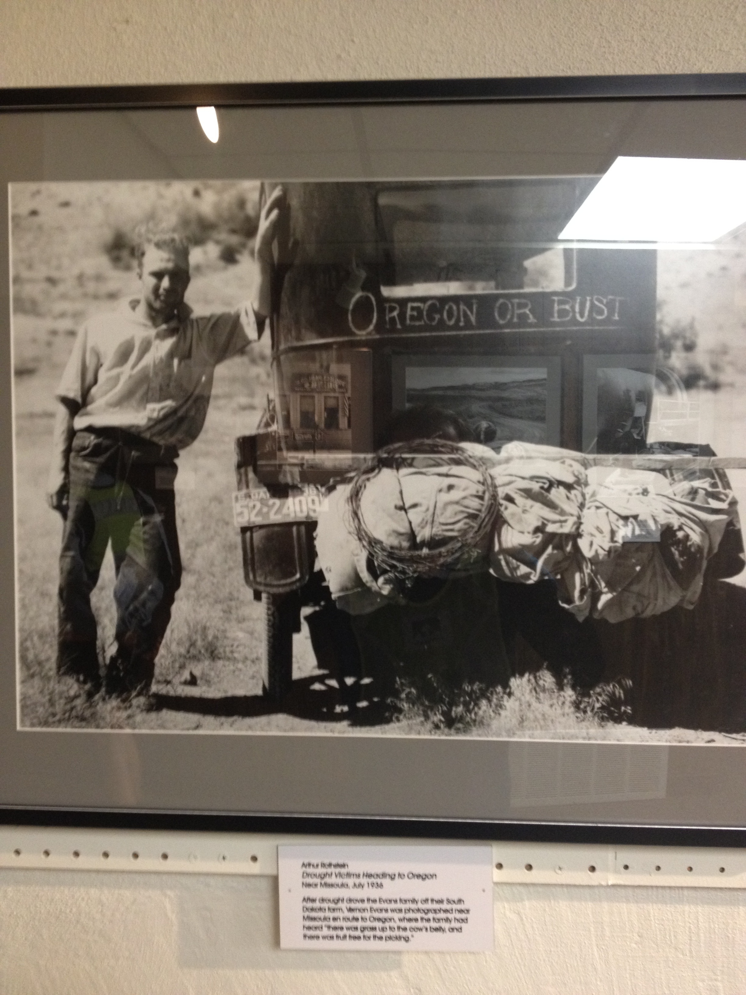
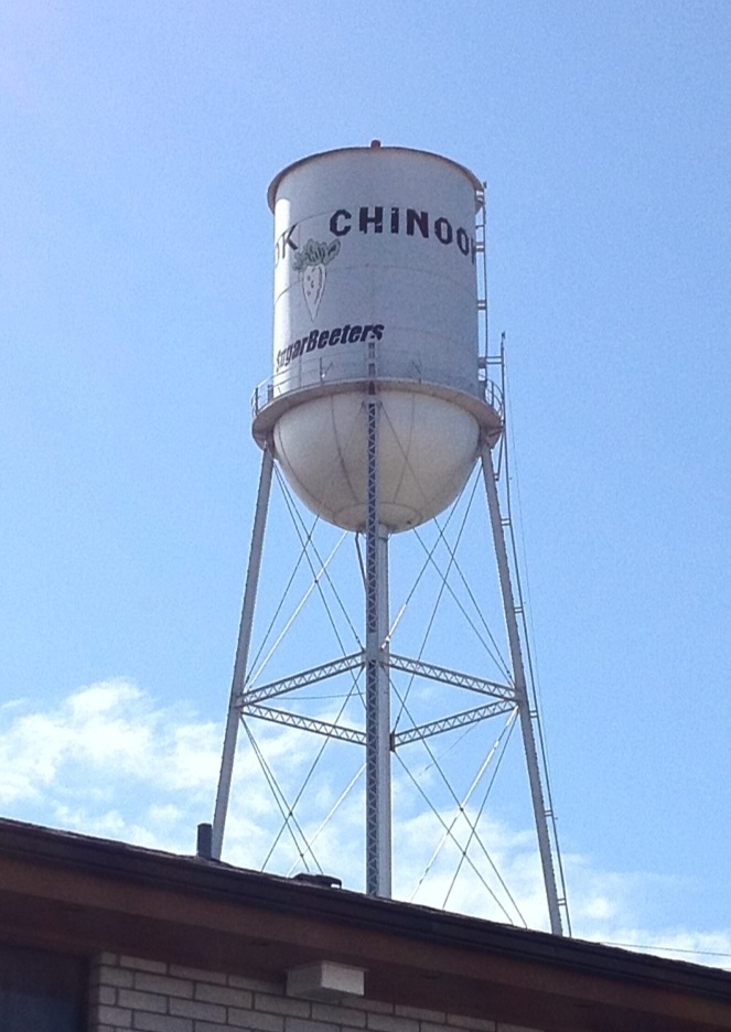
Before leaving Chinook yesterday, we spent a little time hunting for traces of Keowns in town. A 94-year-old in the cafe at breakfast said that the name sounded vaguely familiar to him, though he did not know or remember any people with our last name. At the Blaine County Museum in Chinook we also did not find any mentions of Keowns. We learned from Grandpa Howie that his parents worked at a creamery in Chinook, which explains why there was no mention of them in the museum’s rolls of homesteaders. However, the exhibit on FSA photography in eastern Montana made us quite glad that Grandpa Howie’s family had gotten out of Montana for Oregon before the Great Depression, unlike this guy:
More pictures of Chinook, “Home of the Sugarbeeters”:
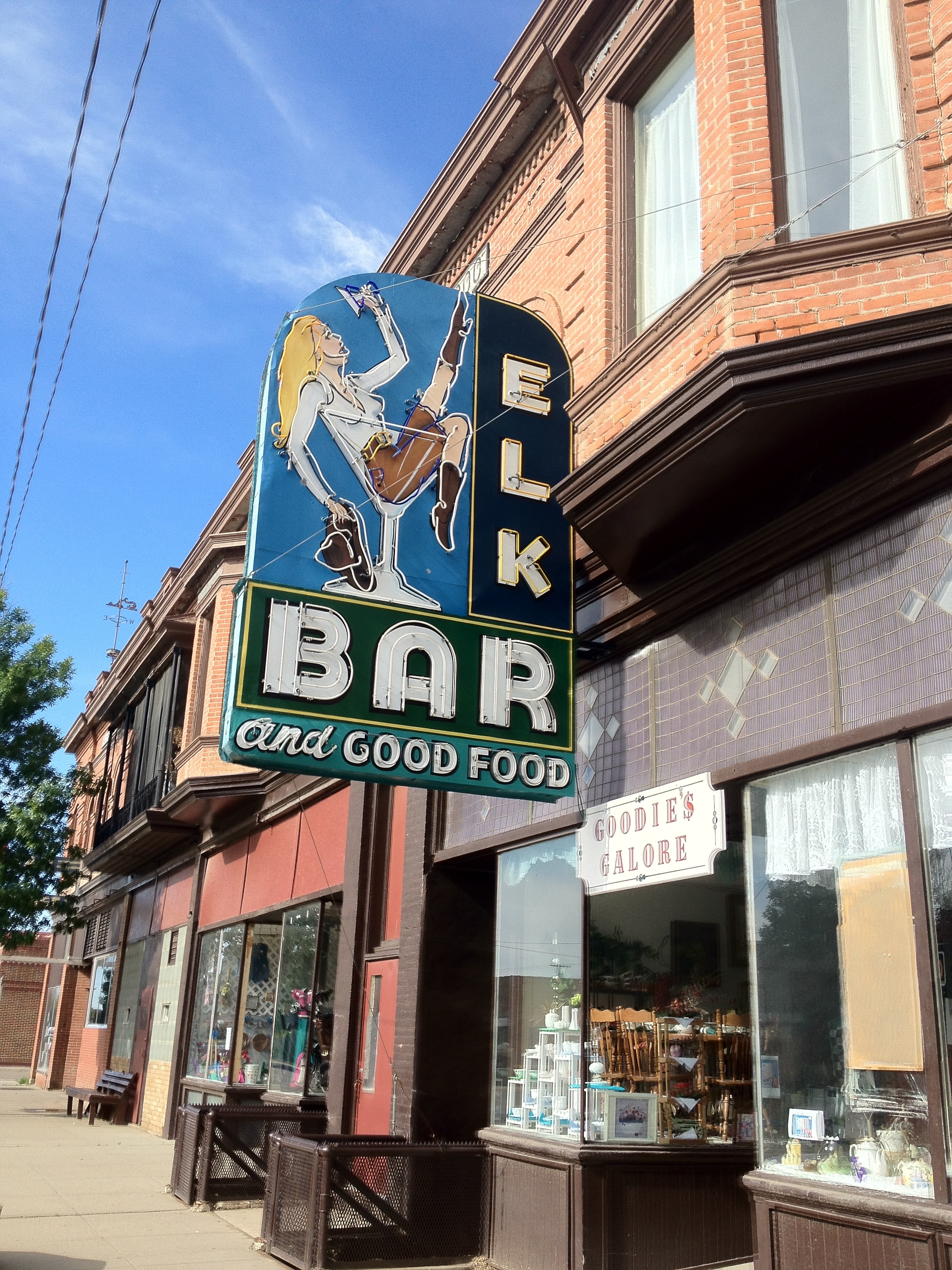
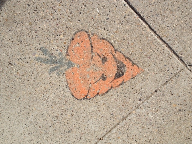
(That is the Sugarbeeter mascot, painted on all the streetcorners)
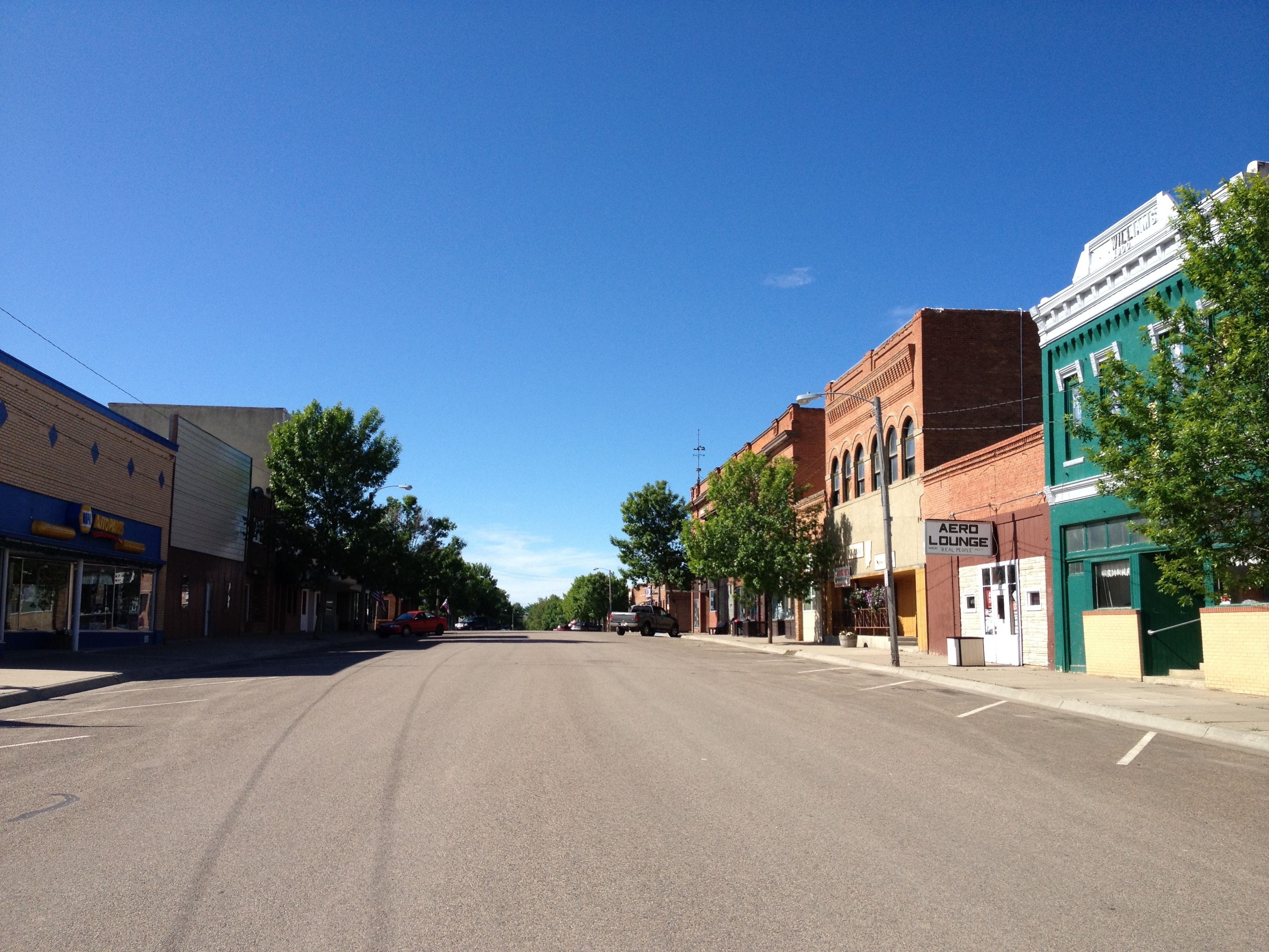
The trip to Havre was a short one, only about 21 miles, but a battle against a headwind the whole way. We’re now about halfway across the state of Montana. The wind looks to continue for the forseable future, though with the slight comfort that it will tend to come at an angle rather than head-on and not be stronger than 10-15 mph. Still, the next several days until we get to the mountains will be less than fun. Today is an ideal day for a rest day, though, as it’s been very cold and rainy all day, in addition to the wind. We might be able to battle the 60 miles to Chester tomorrow; if not, we’ll end up in Hingham.
Montana State U North rents out dorm rooms cheap to passing cyclists for some reason, so we’re staying in them. It’s nice to not be camping in the rain and kind of fun to be reminded of our college days, that special dorm smell and all.
Chinook welcomes home its wayward (grand)son
(Susan)
Today beat out yesterday for record mileage; we hit 95 miles from Saco to Chinook. Now that we’ve started trying to push ourselves a little bit, perhaps inspired by the dudes we met in Medora who are doing Astoria to NYC in 6 weeks, we’re finding that it’s not actually too hard.
Today we had a tailwind for most of the day, until just east of Fort Belknap Agency when the wind stopped and then turned straight around. Here’s our hypothesis for how this happened: Most of the day we were biking towards a ginormous storm system, which we passed just south of on the road to Fort Belknap Agency. The storm is a low-pressure zone that sucks the air towards it from all sides. So once we went on the other side of the storm we were moving opposite of the movement of the air and thus the tailwind became a headwind. Physics! It works, kids!
Unfortunately, once the headwind hit, there was no place to stay that had showers for another 30 miles, so here we are, all those miles later, in Chinook. Among other notable features, Chinook is the birthplace of Brice’s paternal grandfather Howie. We know that the family did not stay very long here, so we probably don’t have any long-lost cousins around to barge in on, unfortunately. (Grandpa Howie, will you fill us in on what your parents were doing in Chinook and where you all went from here?)
More cliffs along the southern edge of the Milk River Valley:

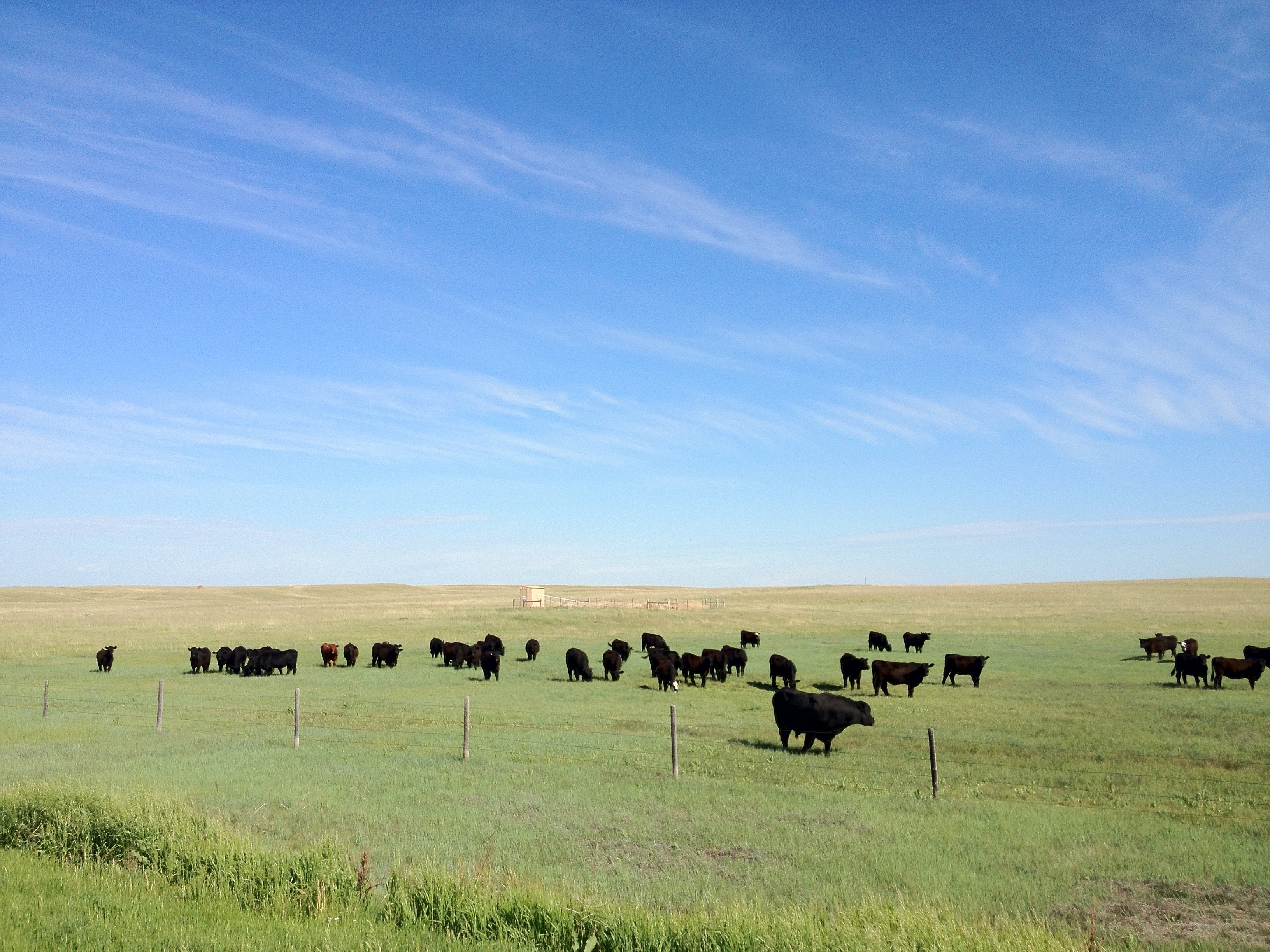
A bull (foreground) and his herd of girlfriends: (I didn’t think anyone kept bulls around anymore!)
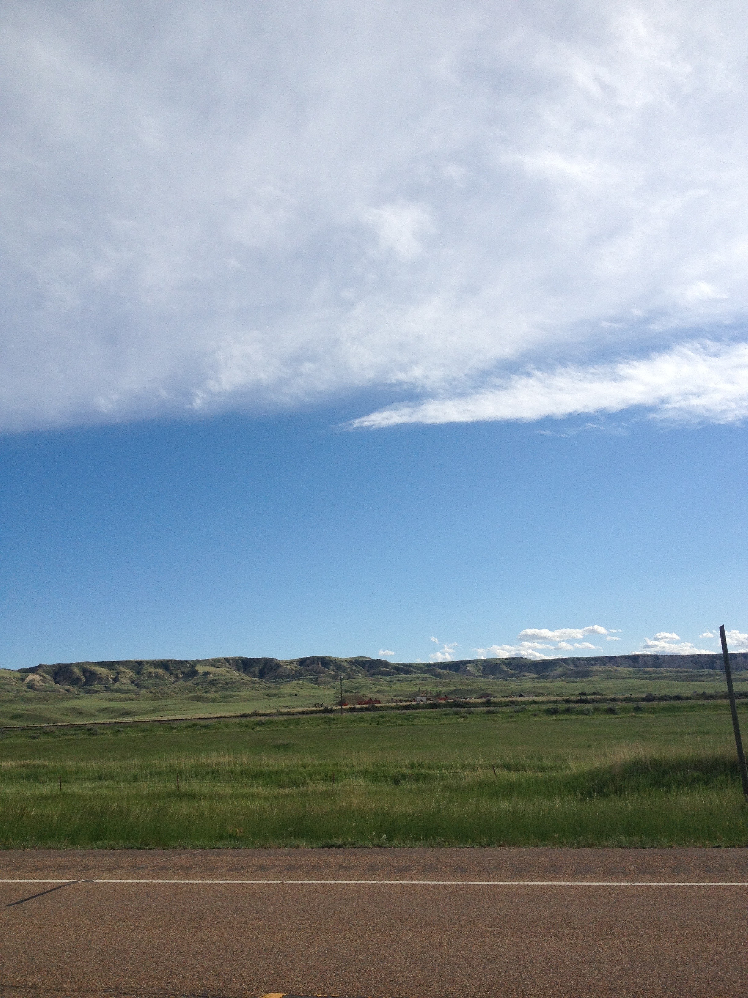
The Bears Paw Mountains off to the south:
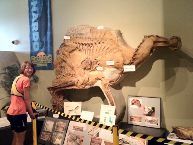
In Malta, we visited the tiny but well-curated Great Plains Dinosaur Museum and Field Station. (Unlike the dinosaur museum in Glendive that we fortunately avoided, the museum in Malta is not run by the Foundation for Advancing Creation Truth.) Montana is well-known for its fossil deposits, including especially important fossils like Leonardo the Mummy Dinosaur:
(The Bike Blog’s lurking paleobotanist will be pleased to know that the museum also had a nice little plant section, too.)
Tomorrow we’re off to battle some more headwinds until we get to Havre, where we’ll bum around for a day or so.
Stretching Out
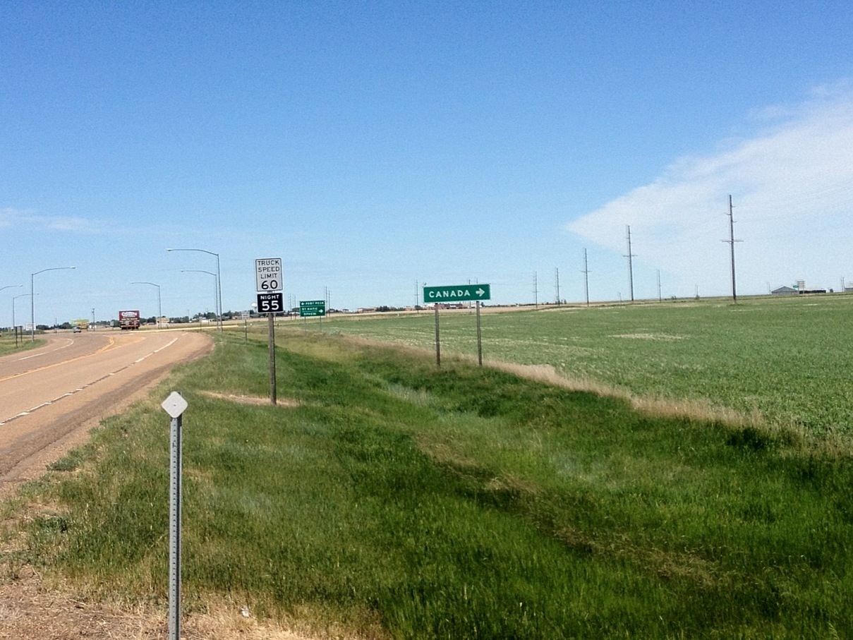
(brice writing) We were heading west when we saw this helpful sign. We’re not sure why it was here specifically, since Canada is pretty much always a right turn if you’re going west in the US.
Speaking of, we continued our trend of meeting an eastbound cyclist each day since Medora; we ran into some nice guys from Quebec that were biking from Vancouver BC to Montreal, evidently via Montana. I hope they find a Canada sign when the time comes.
We’d been a bit frustrated the last two days because the weather was good and the wind was decent, but because towns (and water) are so far apart, we kept having to stop at ~55 miles. Today offered a variety of possible endpoints that weren’t too outrageous – so we wound up going a bit over 91 miles to Saco. We’re pretty tired but it actually wasn’t too hard. We left Wolf point a bit after 8 this morning and got in shortly after 6. Unfortunately my odometer is less waterproof than advertised and will now only display the current speed in km/h, so I don’t know exactly how long we were riding or what our average speed was.
Thanks to everybody who correctly identified the mystery plant as Canola, a type of mustard. It’s good to know where cooking oil comes from.
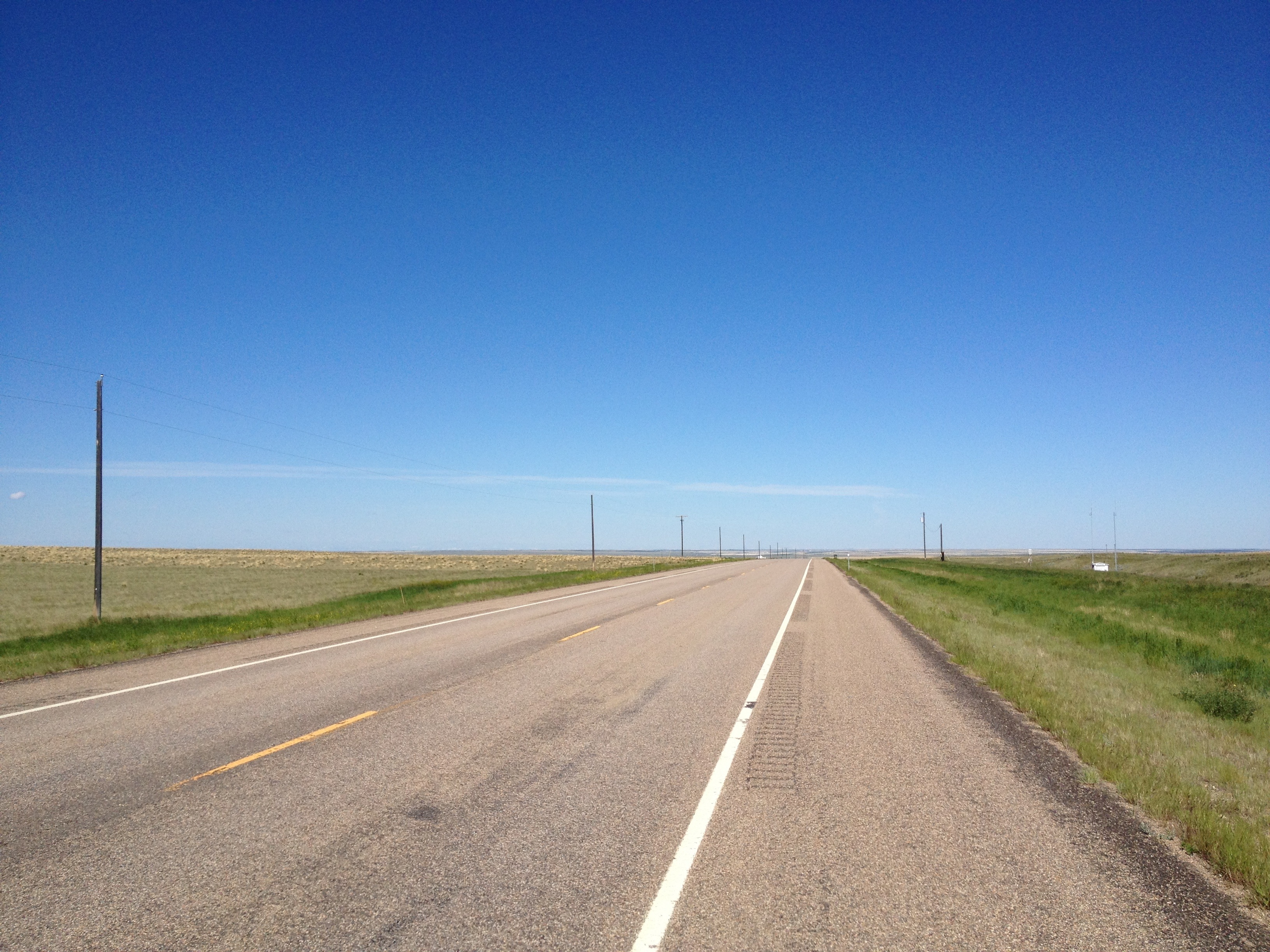
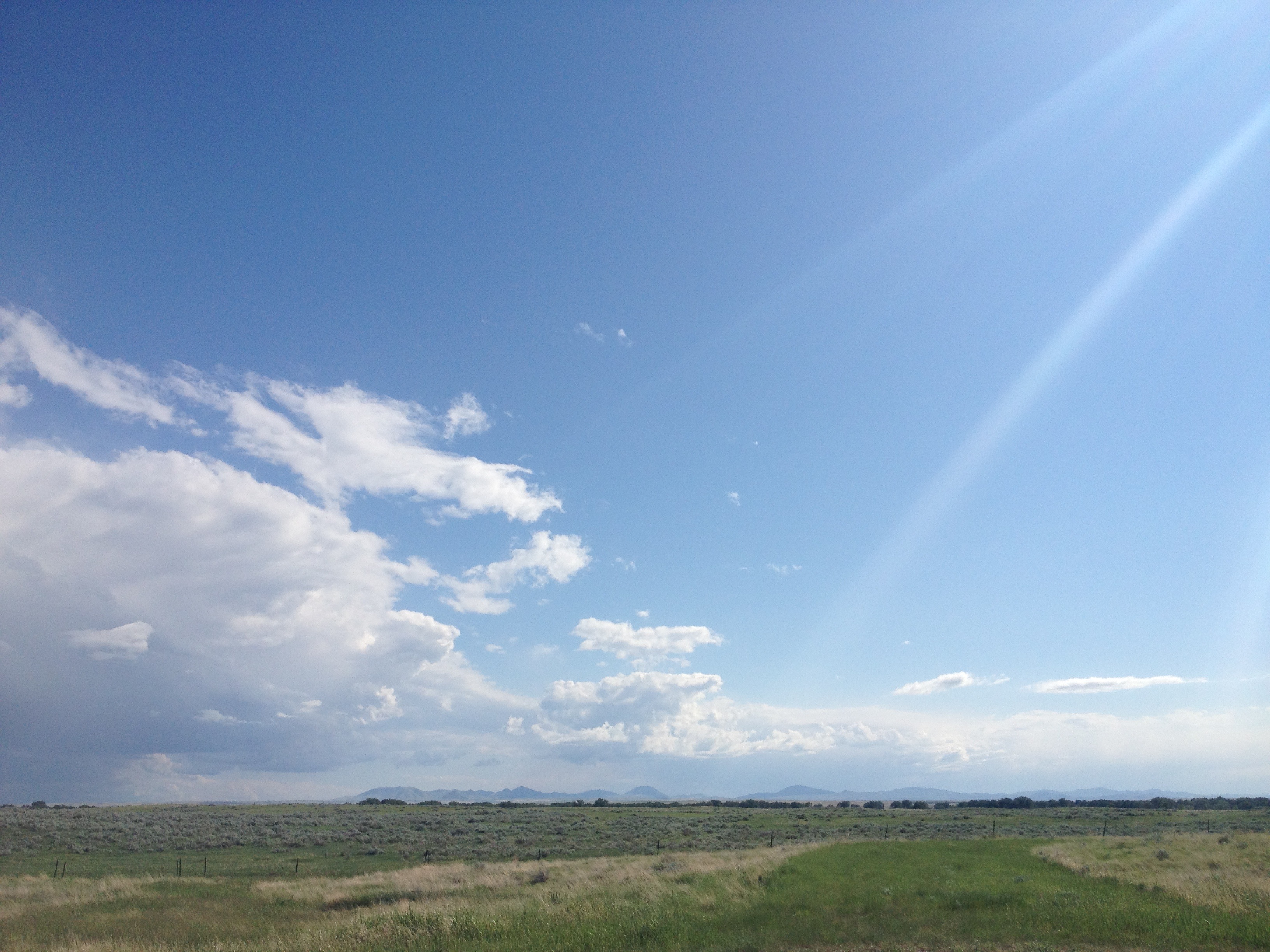
I’ll close with yet another landscape. These bluffs were formed by the Missouri river before the last ice age; glaciation redirected the missouri and so now the valley is occupied by the much smaller Milk river.